Climate is a complicated force that significantly impacts every aspect of our lives. Few people experience these impacts more than agriculture and livestock producers. Mitigating the risk associated with the occurrence of destructive climate like drought or early freeze is critical to the success of any farming or ranching operation. With the impacts of drought effecting nearly every region in the United States, the availability of tools to help producers assess the severity and duration of climate is imperative as they develop risk mitigation strategies. In 2005 a partnership between the USDA Risk Management Agency (RMA), the National Drought Mitigation Center (NDMC) and the University of Nebraska - Lincoln Department of Computer Science and Engineering was started. The goal of this partnership is to provide producers with tools and data that will allow them to more effectively plan for and mitigate the effects of climate. Together these organizations are using years of risk management experience, climate expertise and the latest distributed computing technologies to develop tools and information systems that will help producers develop and maintain solid risk management plans.
The GreenLeaf project was a rethinking of the way that decision support tools work. The project tool offerings were rebuilt from the ground up with a single focus: simplicity. Good decision support requires that data be available when it is needed every time. Our team found that the only way for technology to empower the decision making processes of our users was to always be there just under the surface and never get in the way. With that understanding we were able to streamline just about every one of our processes all while significantly upgrading our technology base. The result was: a robust set of tools providing producers with access to over 1 billion historical climate records, dynamic maps and the latest in drought assessment and reporting tools. A system that was both familiar and new at the same time. A system that put a world of information a mouse click away.
The GreenLeaf Project represented a revolution in software for agricultural decision support. Over time what was once new becomes old, and eventually must fade away. As of March 2012, The GreenLeaf Project will no longer be available. The tools that we built and the software architecture concepts that we pioneered in decision support, however, live on in new iterations of our partner's tools. The header links at the top of this page will direct you to the next generation of ground breaking tools in agricultural decision support. This page will remain available to provide information about the GreenLeaf Project, access to several core drought index programs used by the project, and project source code for future development.
Project Source Code
The Framework for Agriculture Risk Management (FIRM) is a Java EE framework that drove the GreenLeaf Project as well as the National Agricultural Decision Support System. The source code for FIRM is provided here alongside The GreenLeaf project source as a reference implementation of a FIRM-compliant application. Interested parties are free to adopt aspects of FIRM in their projects or use FIRM as the basis for decision support applications. FIRM and GreenLeaf project source code are released under the Apache License.
A Service-Oriented Architecture for Data-Driven Decision Support Systems is an architectural description of FIRM, the GreenLeaf Project, and the process of building the system. It serves as documentation for the project source code.
Tool Downloads
The following programs can be used to compute drought index values using local climate data. These programs are offered as is with no support; source code and user manuals are provided. Note: these programs are intended to run from a DOS command line or UNIX shell. Simply running the program from Windows will not work. To run these programs, launch a command prompt using Start->Run->Command.exe. To compile the source code on Windows, you must have Cygwin installed.
The value of the PDSI is reflective of the how the soil moisture compares with normal conditions. A given PDSI value is usually a combination of the current conditions and the previous PDSI value, so the PDSI also reflects the progression of trends, whether it is a drought or a wet spell. That means that a single PDSI value is not representative of just the current conditions, but also of recent conditions to a certain extent.
scPDSI User Manual
The Standard Precipitation Index (SPI) quantifies deficit or excess moisture conditions at a location for a specific time interval. The value computed represents the number of standard deviations the measured precipitation for the interval deviates from the normalized mean of all intervals of the same length in the climate record. The NADSS implementation of the SPI quantifies wet and dry spells for 1 - 104 week or 1 - 24 month intervals.
SPI User Manual
The Newhall Simulation Model (NSM) was designed to run on monthly normals for precipitation and temperature. The process involves running time-sequence monthly climate data against daily moisture status data, and then summarizing the results according to the rules of soil moisture and temperature regimes, thus classifying the site.
Newhall User Manual
Project Materials
 |
 |
 |
|
Video Introduction This video introduces The GreenLeaf Project and our partnership with the USDA Risk Management Agency and The National Drought Mitigation Center. Published: March 2006 |
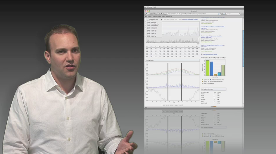
Building Better Systems This video discusses the developments that have been made on our decision support tools over the course of the last 2 years. Published: June 2008 |
Project Information Sheet This PDF provides an overview of The GreenLeaf Project and our vision for the development of decision support tools. Published: April 2008 |